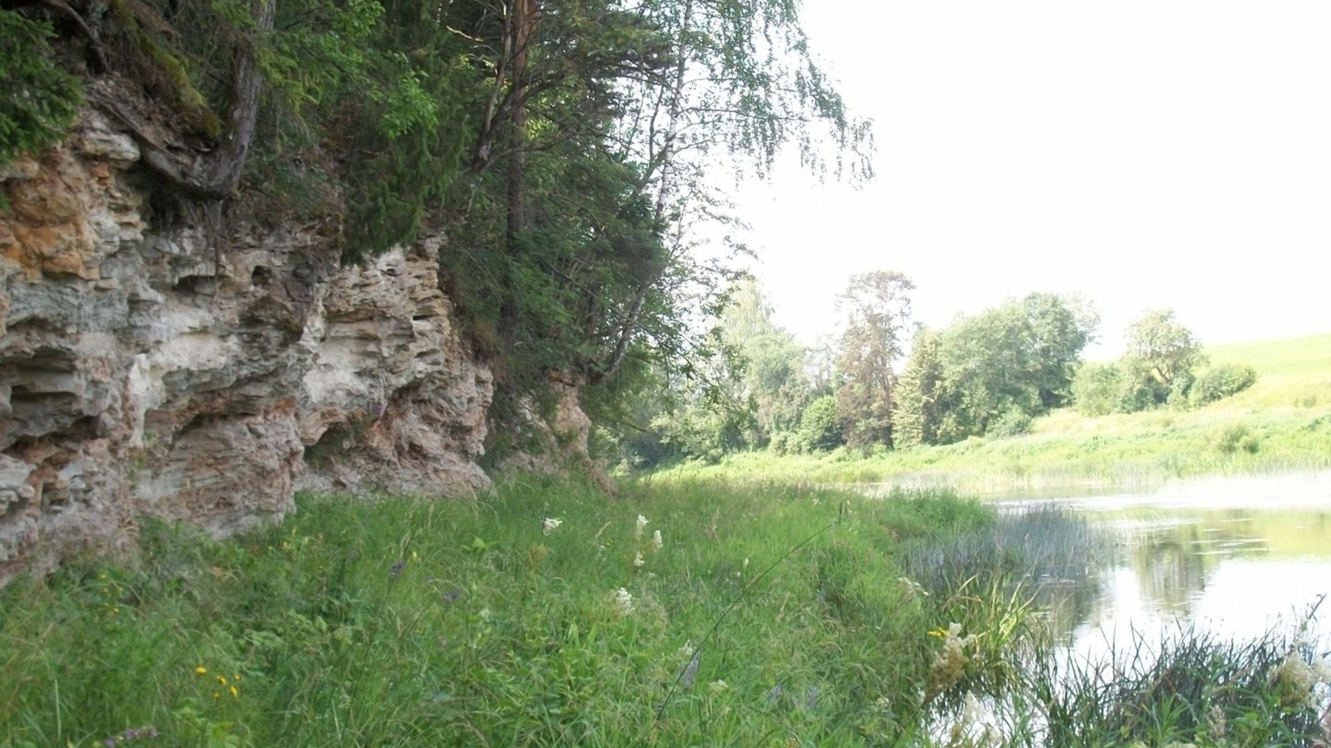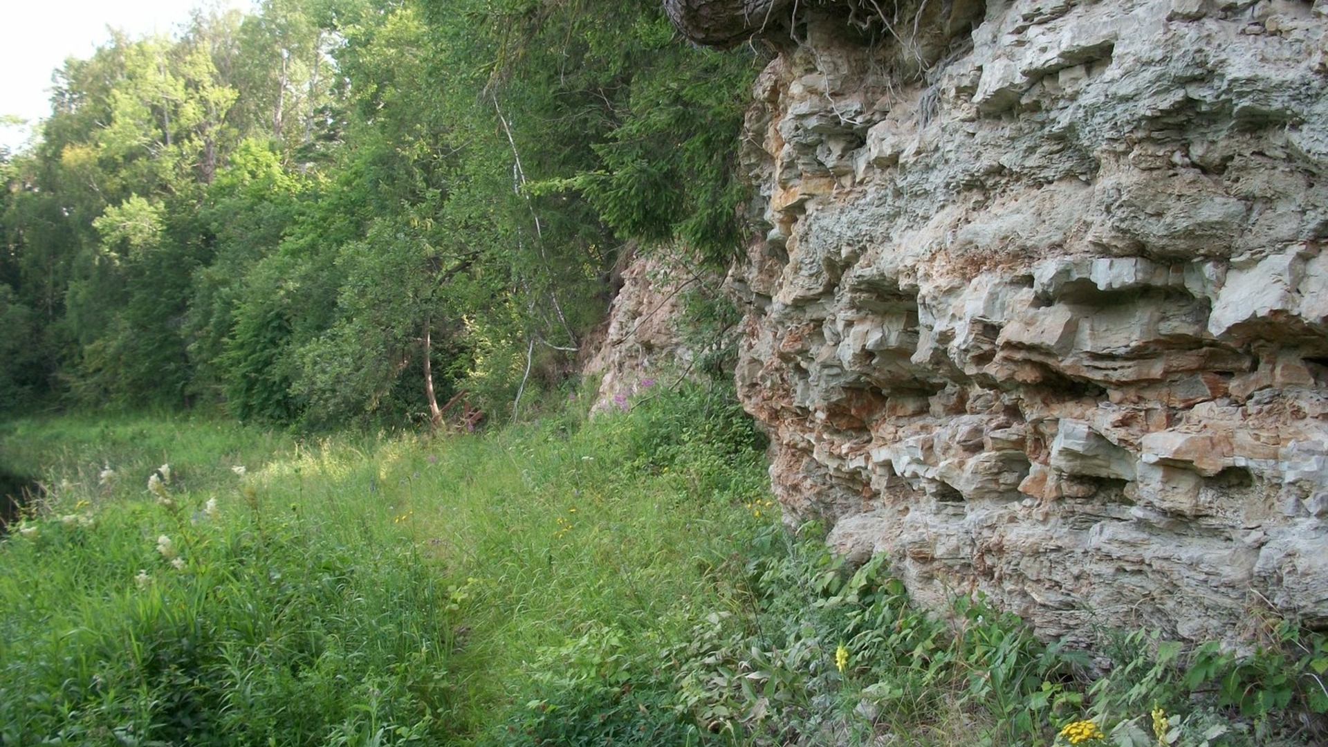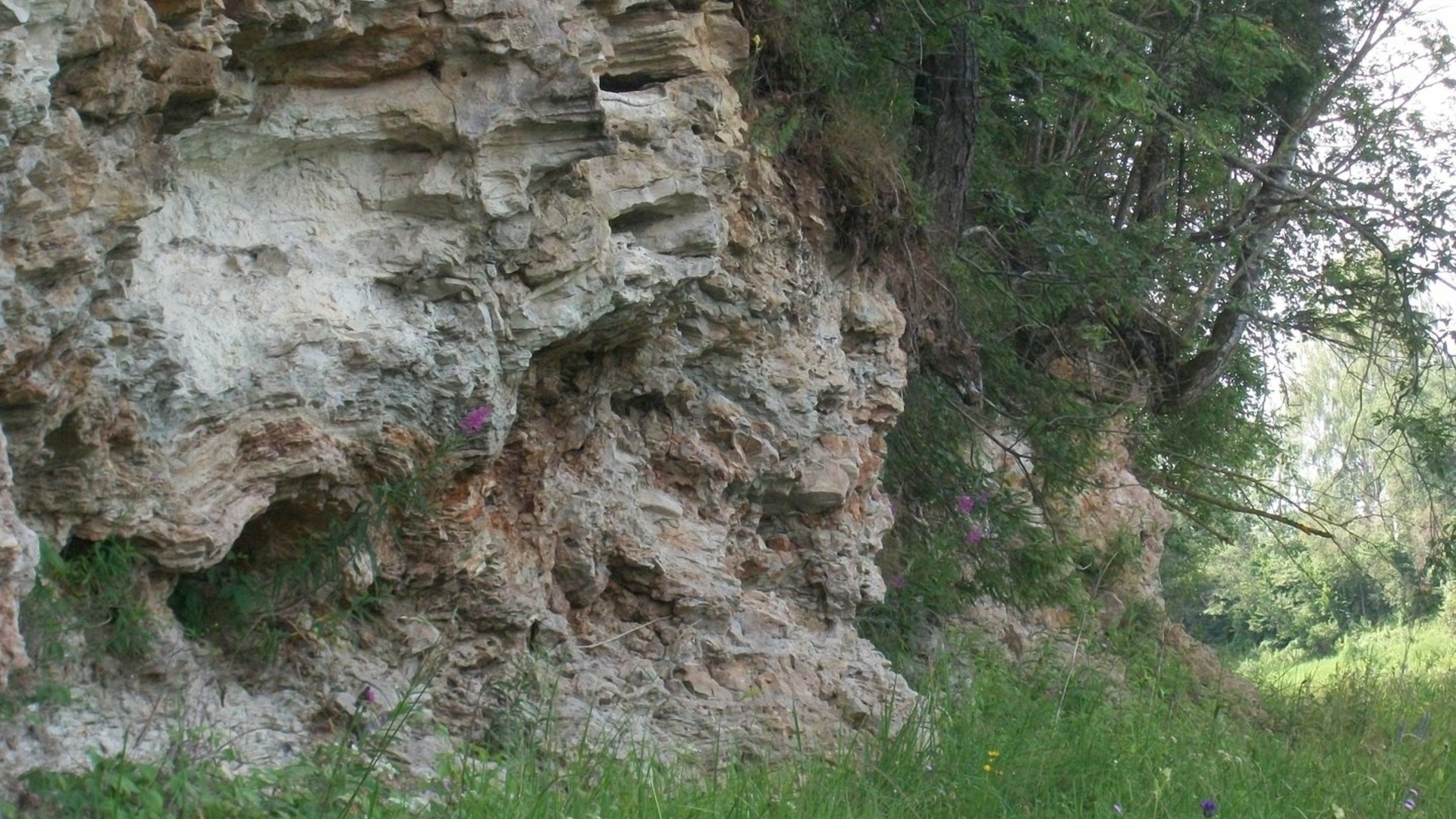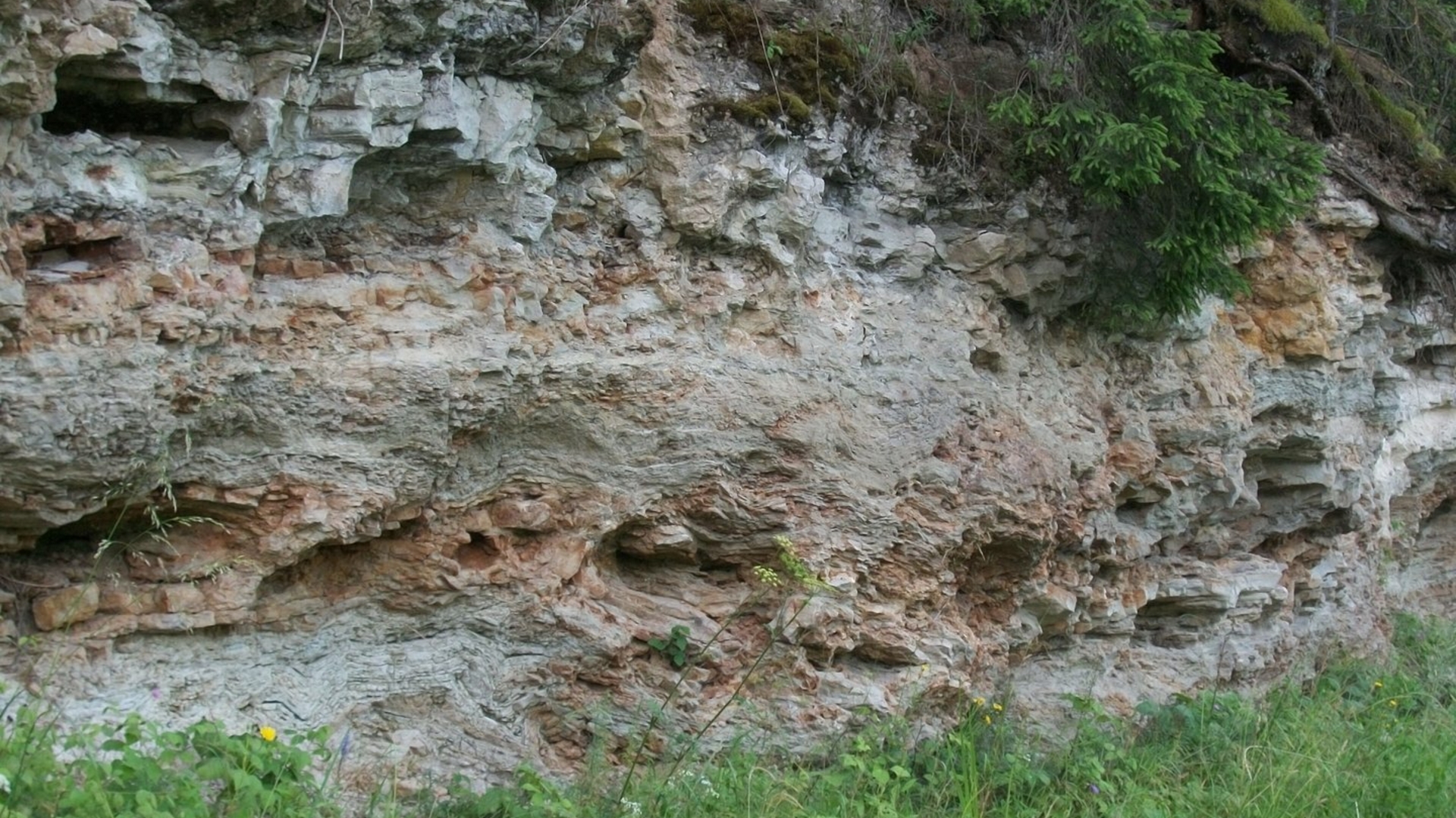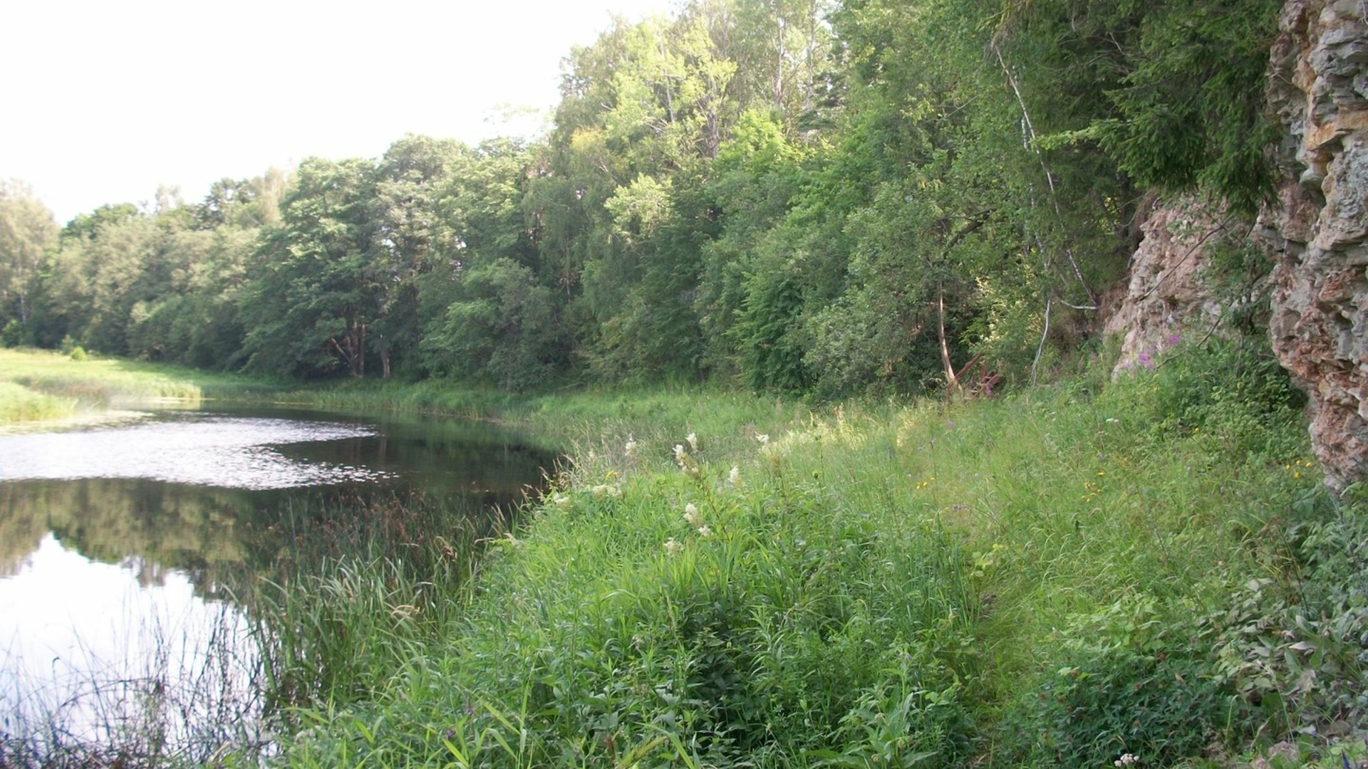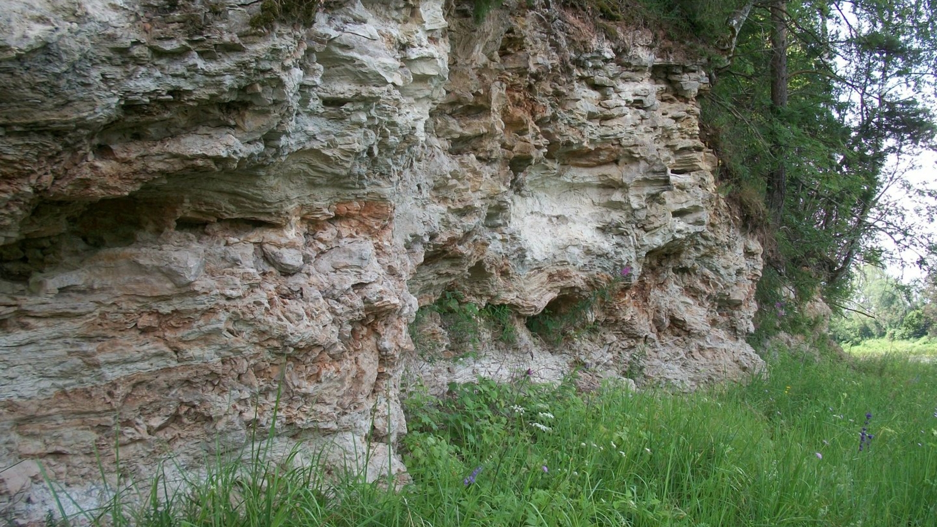
It is a natural outcrop, that came into being as a result of long-term deep and lateral erosion of the river Nemunėlis, with a steep wall with sharp protrusions of hard rocks, with lots of niches, caverns, deep cracks, micro creases and other changes of the rock occurrence. It is a very remarkable, beautiful range of a precipitous slope in the valley of the river Nemunėlis. The crop forms the part of the State Geological Reserve of Nemunėlis-Apaščia rivers that was established in 1960. Muoriškiai outcrop outlooks the north outskirts of the undulated moraine plain of Mūša-Nemunėlis rivers with the valley of the river Nemunėlis that is etched into the north outskirts (the absolute altitude of the water level of the river Nemunėlis at the foot of the outcrop is 35,5 m). The absolute altitude of the terrain varies from 33 m (the water level of the river Nemunėlis in Muoriškiai village) to 61 m (in Benupė village) in the area of approximately 2 kilometres radius, and the highest spot in Pučiakalnė is about 75 m.
The dimensions of Muoriškiai outcrop: the most impressive upright segment along the river Nemunėlis is 80 m long. However, at least 30 meters from both ends should be included in the length of this outcrop. Thus, the total length of the entire stretch is 140 m. The outcrop is 7,4 m in height, the valley slope is 9,6 m in height, its foot is 0,8-1 m above the water surface of the river Nemunėlis and in some places is up to 6 m away from the river.